
About the Tarcoles River.
Tarcoles is a small town that has a string of modest houses set alongside a series of dirt roads. With rather humble images, this quiet town and its surroundings are mainly visited by bird watchers and those who like to go hiking.
The Rio Grande de Tarcoles marshes are located right next to town, offering bird-watching opportunities, hiking trails, and one of the highest waterfalls in the country. It is part of the canton of Garabito, number 11 of the province of Puntarenas, in Costa Rica.
Inhabited in pre-Columbian times by natives of the ethnic group of the Kingdom of Huetar del Oeste, settled in scattered villages; at the beginning of the Conquest, the main cacique was Garabito, who gave rise to the name of the canton. The discoverer of the region was Don Gil González Dávila, in the year 1522, when he made the first tour of the national territory, from its southeast sector to the indigenous town of Avancari (today Abangaritos, Puntarenas canton).
Rio Grande de Tarcoles.
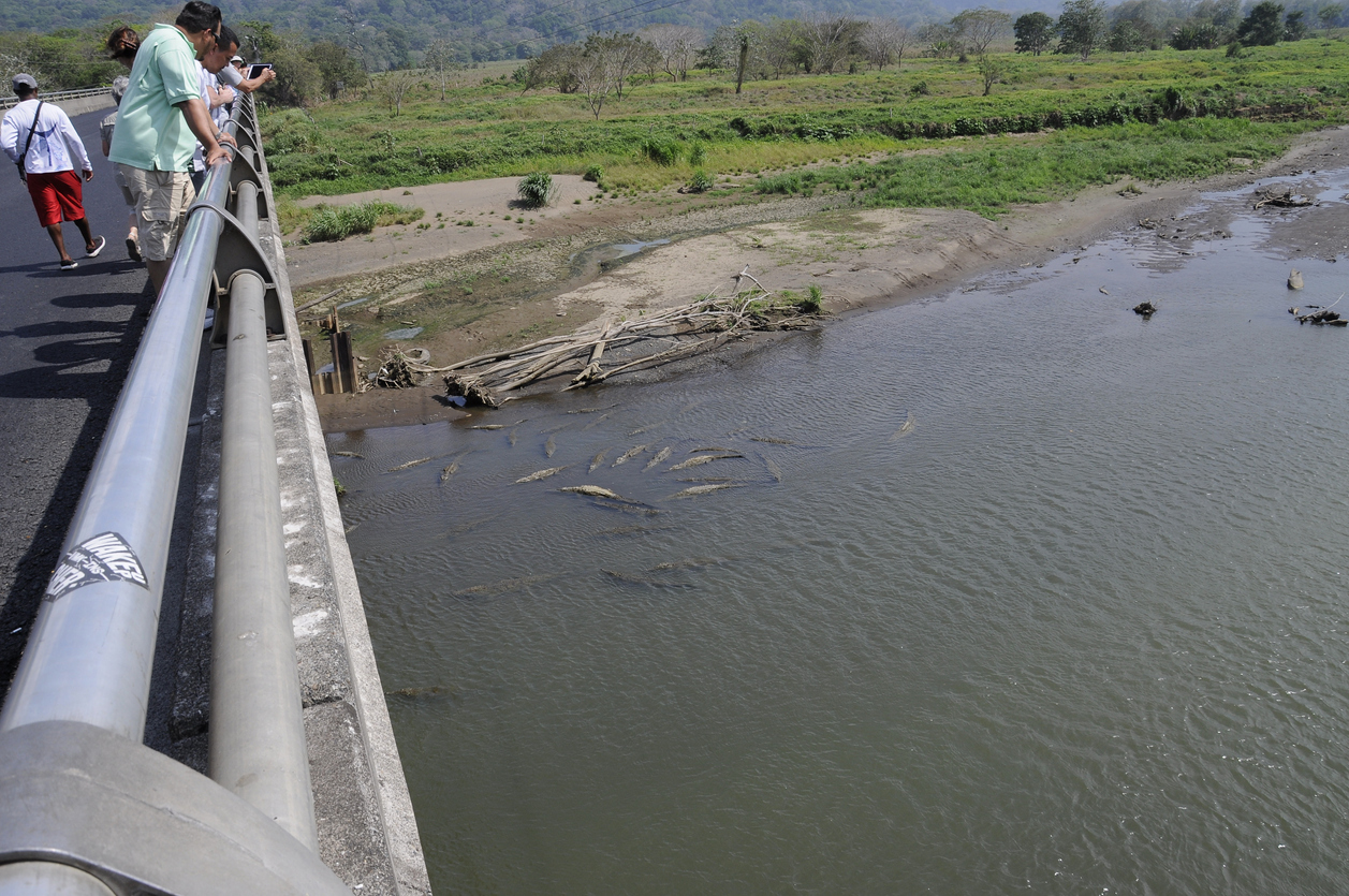
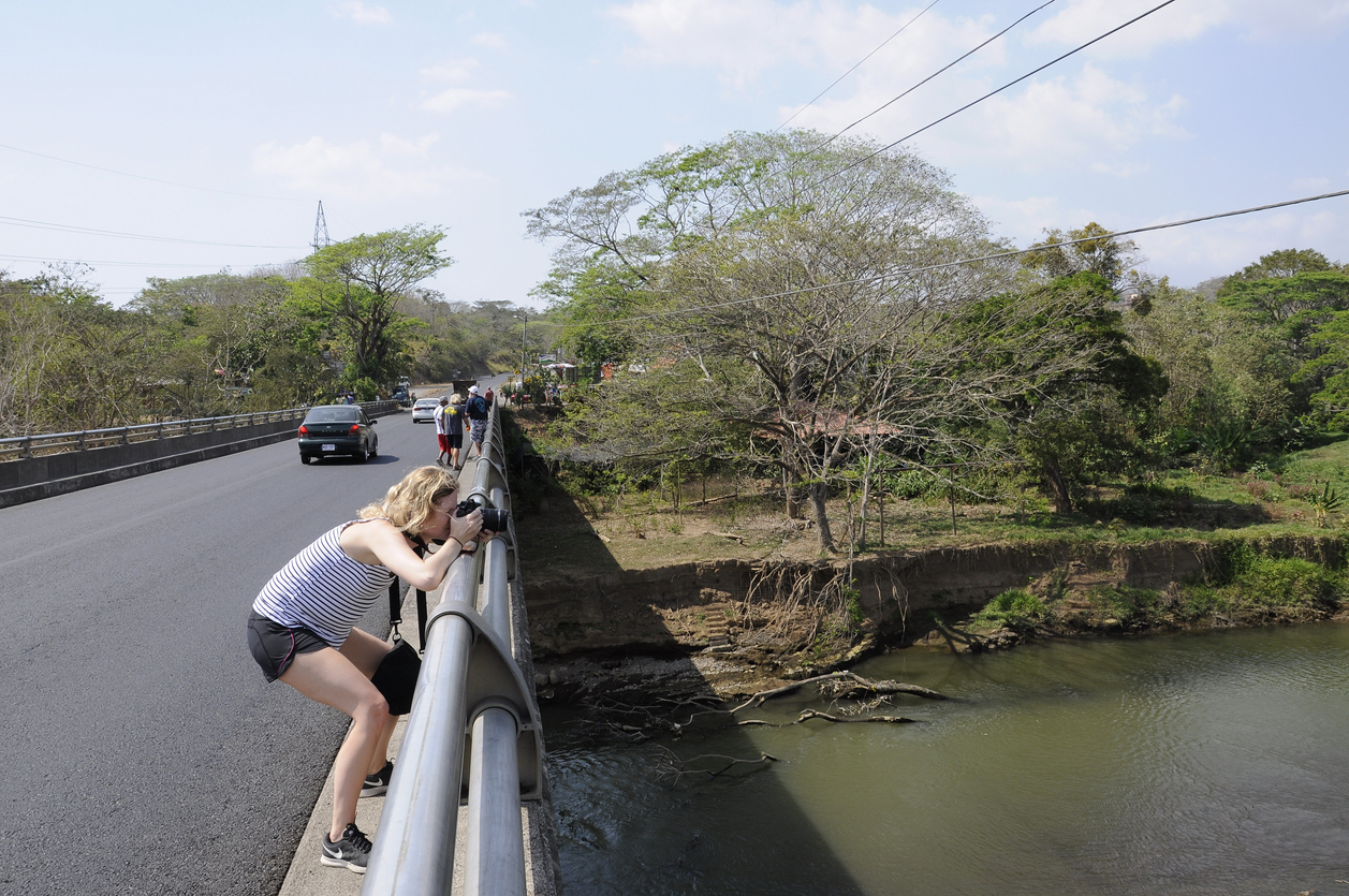
Known for its abundance of American crocodiles. It is said to have one of the largest populations in the world, 25 crocodiles per square kilometer. These large reptiles can often be seen swimming in the river or basking along the sand or silt banks. It has an exuberant natural beauty that includes forests, mangroves and lagoons that serve as a nesting area for many birds, including the spectacular Scarlet Macaw or Scarlet Macaw (Ara macao) and the unique Roseate Spoonbill (Platalea ajaja), among many others.
Located in the province of Puntarenas, starting from the southern slope of the Central Volcanic Mountain Range. Known for its abundance of American crocodiles. The Grande de Tarcoles, is one of the longest rivers in the country, and is the most polluted in Central America, despite that, it has, next to its mouth, the Guacalillo mangrove swamp that hides a natural treasure not yet exploited by tourism. It is born in the central mountain range of the country; It runs west and southwest, along about 111 km, until its mouth next to the town of Playa Azul, in the Gulf of Nicoya, an inlet of the Pacific Ocean. The marshes of the Tarcoles River are right next to town, offering bird-watching opportunities, hiking trails, and one of the highest waterfalls in the country.
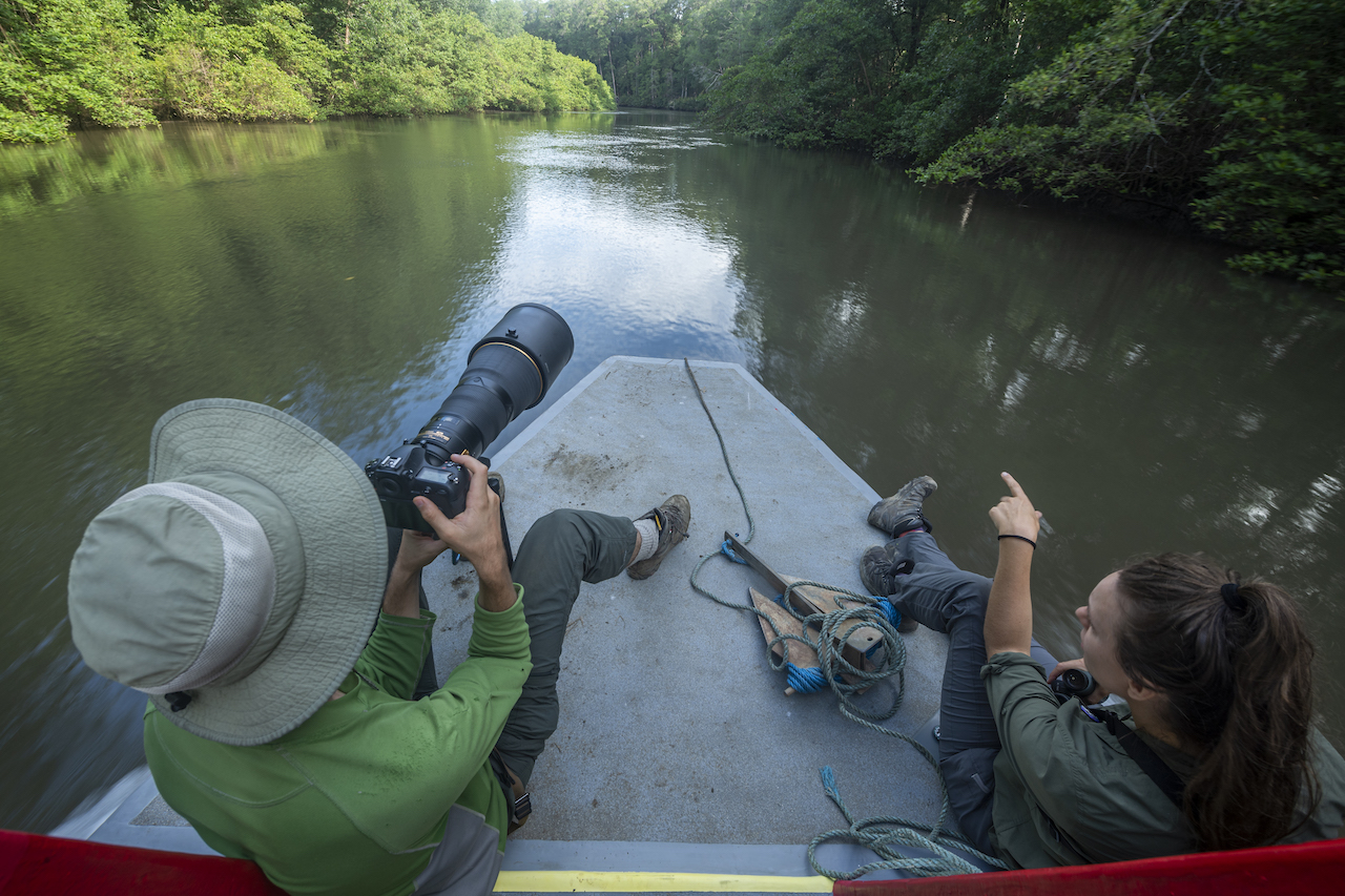
The Guacalillo mangroves, just 120 kilometers west of San José, with a mosaic of tropical flora and fauna to discover. Colonies of crocodiles, birds such as hawks, eagles, kingfishers and blue and green herons, storks, crabs, and monkeys, are part of the fauna that inhabits the mangrove swamp that has been, until now, little exploited by the growing tourist industry in the area. zone. The channels of this mangrove are calm and full of life, where six of the seven species of mangrove that exist in Costa Rica.
Economical importance
Most of its channel constitutes the limit between the provinces of Alajuela and San José. The Cucer, Carrara and Turrubares rivers are its main tributaries. It irrigates an agricultural region, dedicated to the cultivation of sugarcane, coffee, banana (plantain) and cattle breeding. It collects all the waters of the Metropolitan Area, where the sewage is discharged, which is why it is the most polluted basin in the country. The rivers of this basin were the first to be used in the country for the construction of hydroelectric dams; Some of them are: La Garita on the Grande Poás River, Electriona and Belén on the Virilla, among others.
https://www.ecured.cu/T%C3%A1rcoles